

A 6-day self-supported trek in northern British Columbia
100 km, 5,000 m of elevation gain, pine forests, alpine lakes, rocky massifs, and desert mountains—good times, photos, and more.
The region lies on the territory of three nations: Tsilhqot'in, St'at'imc, and Secwepemc. Much of the park's trail network was established by Indigenous peoples, who traveled on foot and horseback. It is important to acknowledge that this journey took place on the traditional lands of these nations. Since the 1930s, people have fought to prevent logging and mining in the South Chilcotin Mountains. In 2010, the British Columbia government officially designated the park. Since the 1970s, the area's wilderness has remained largely preserved.
Departure into the Unknown
In early June 2021, we planned a trip to the Yukon. But at that time, the Yukon required a two-week quarantine upon arrival. We had to rethink our plans. We wanted wilderness, a remote place, mountains as far as the eye could see. After some research, we decided to explore South Chilcotin Mountains Park, north of Vancouver.
After a night in a hostel in Vancouver's heat, we set off for the Chilcotin Mountains. The journey would take two days—Google Maps showed 16 hours of driving. A necessary stop at MEC to buy bear spray and a bear-proof food container.
Just past Pemberton, we took the Hurley Forest Service Road and embarked on 50 km of rough gravel road. Hairpin turns, no guardrails, and Anderson Lake far below. We realized the park was not easily accessible.
Day 1
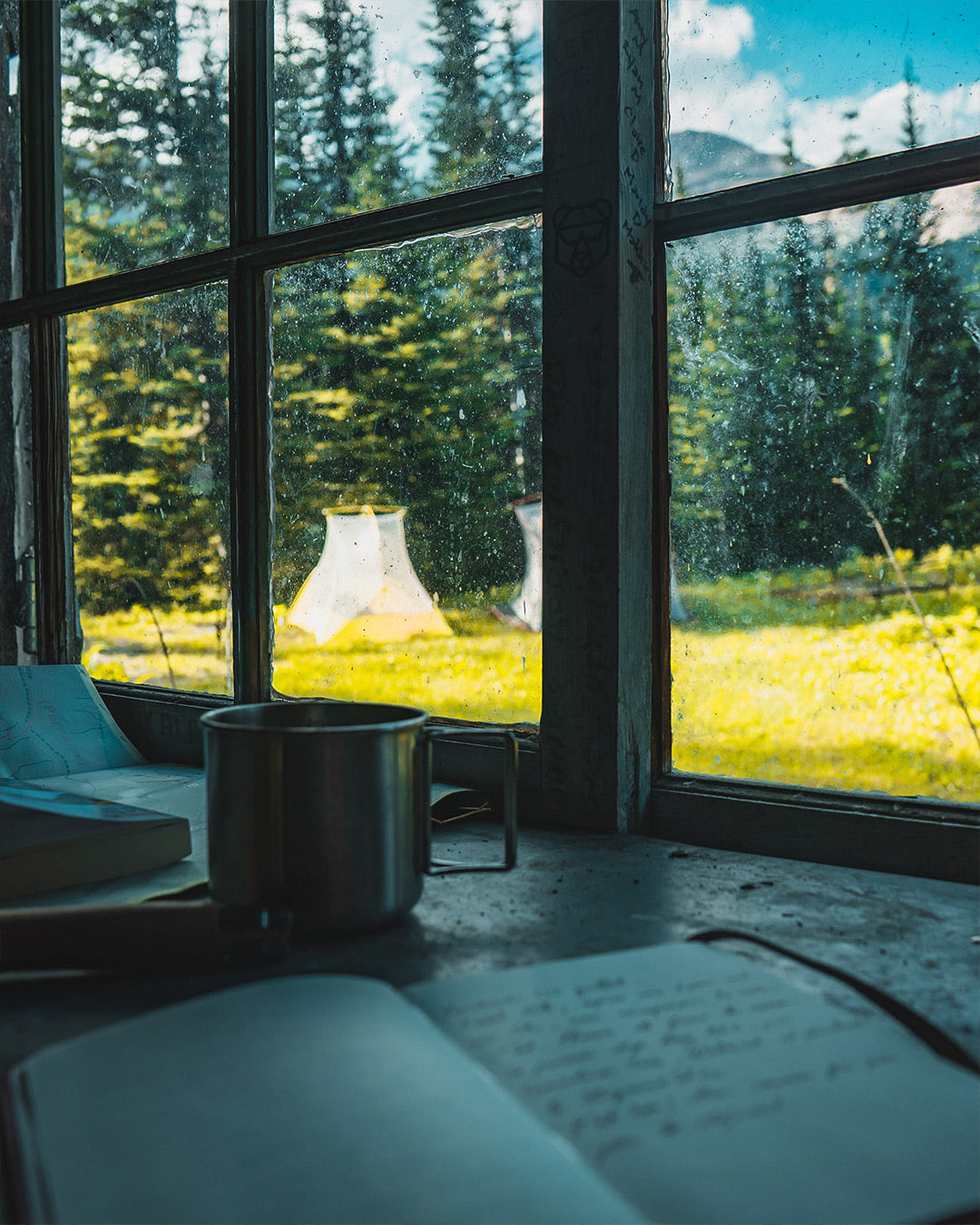
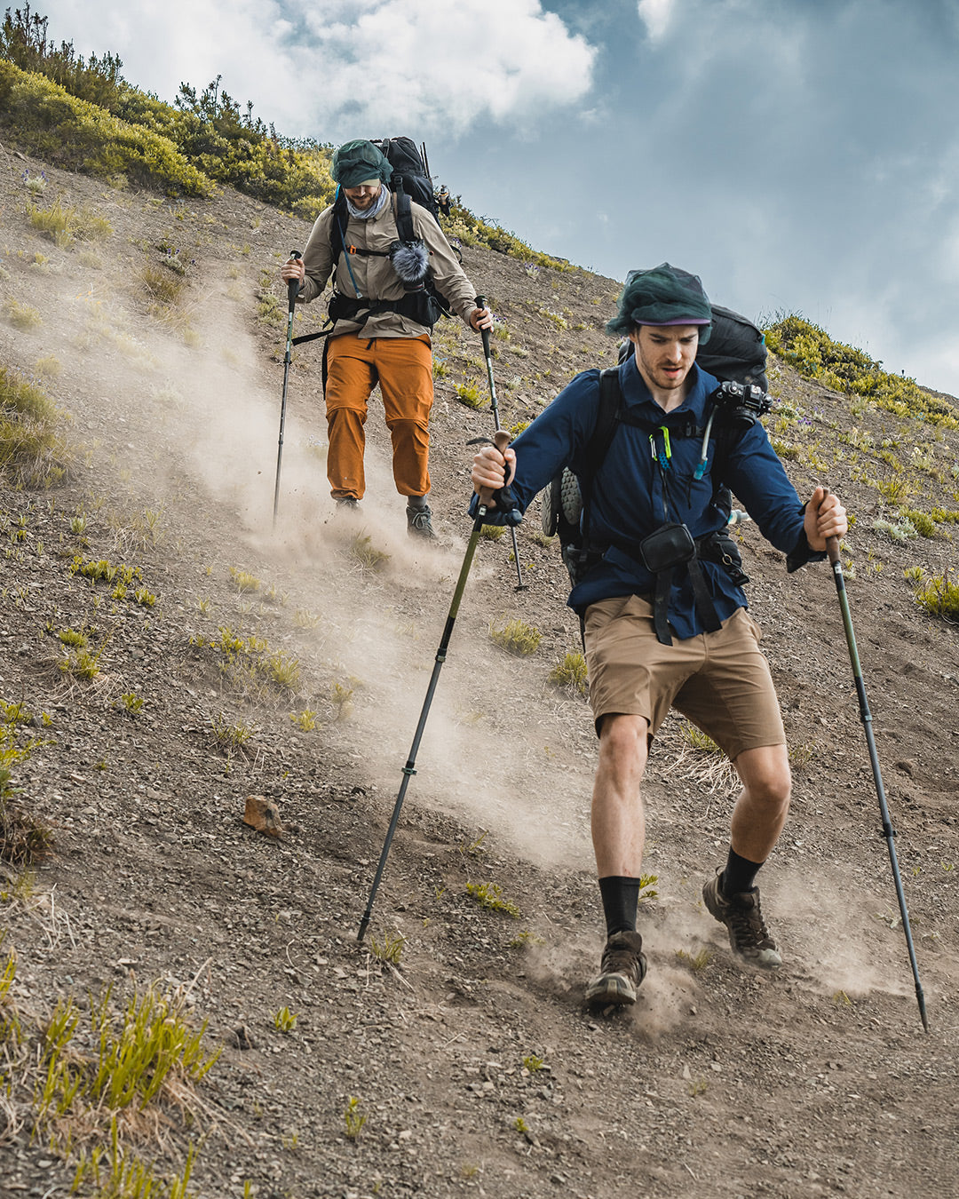
In the morning, we packed our bags, ready for the trek. We reached the Taylor Creek Trailhead and left our car at the end of the road. The adventure began. Too excited, we quickly shouldered our heavy backpacks and started walking. The trail became less and less defined, and after 3.5 km, we had no idea where to go. We pulled out our map and realized we had taken the wrong path. False start. As we turned back, a black bear appeared about 20 meters away. It quickly ran off, and we resumed our route. We finally joined the Taylor Creek Trail. After 15 km, we arrived at Taylor Cabin, an old miner's hut. In the early 1900s, the region had several prospecting sites. Miners used these trails in search of gold.
Day 2
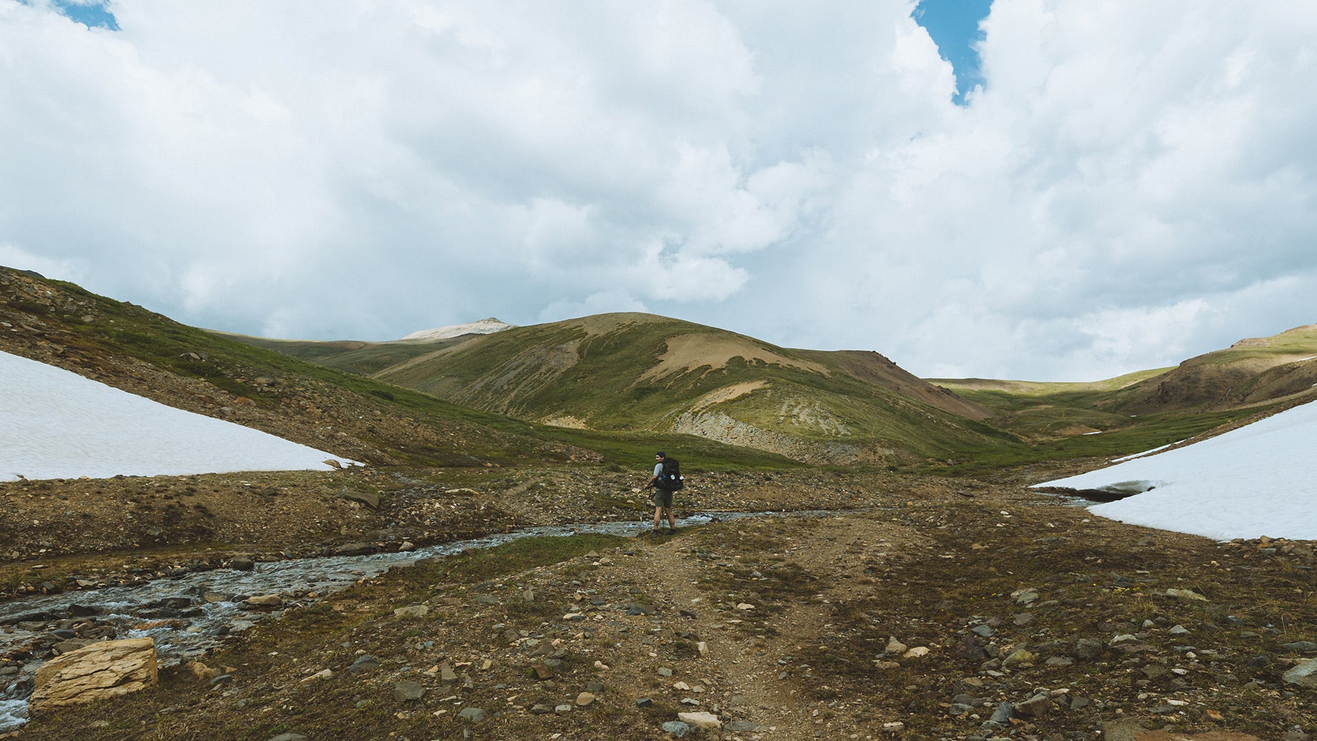
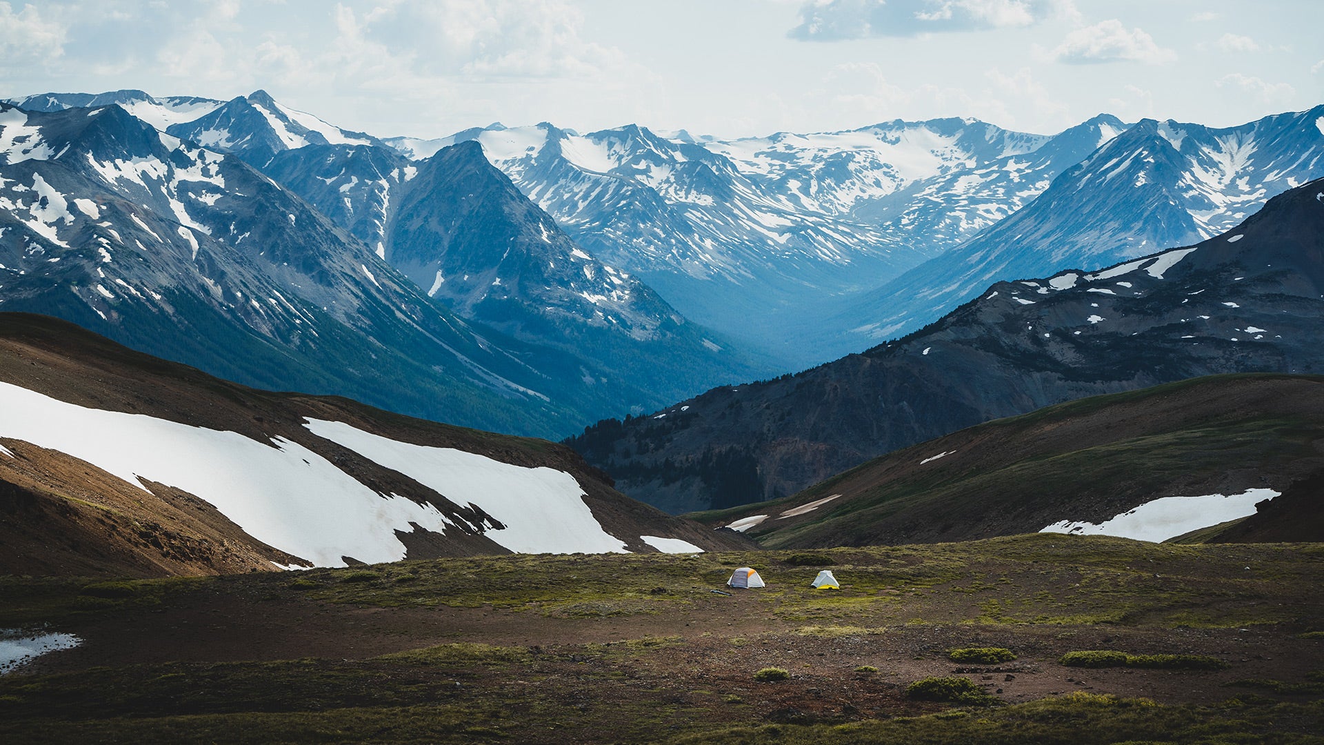
We continued on the Taylor Creek Trail for a few kilometers to reach the High Trail. Stunning views of the mountains at Eldorado Pass. Steep streams flowed between the peaks. We saw the alpine zones for the first time, still covered in snow. Then, we descended to Spruce Lake. After refueling with energy bars and nuts, we took the Mid Grasslands Trail, leading us to the Gun Creek Lower Grasslands Trail. In the forest, we stayed alert, expecting to see a grizzly at any moment. The mosquitoes were irritating at this altitude. Our head nets were a blessing. After a long 20 km day, we arrived at Hummingbird Lake, where we spent the night.
Day 3
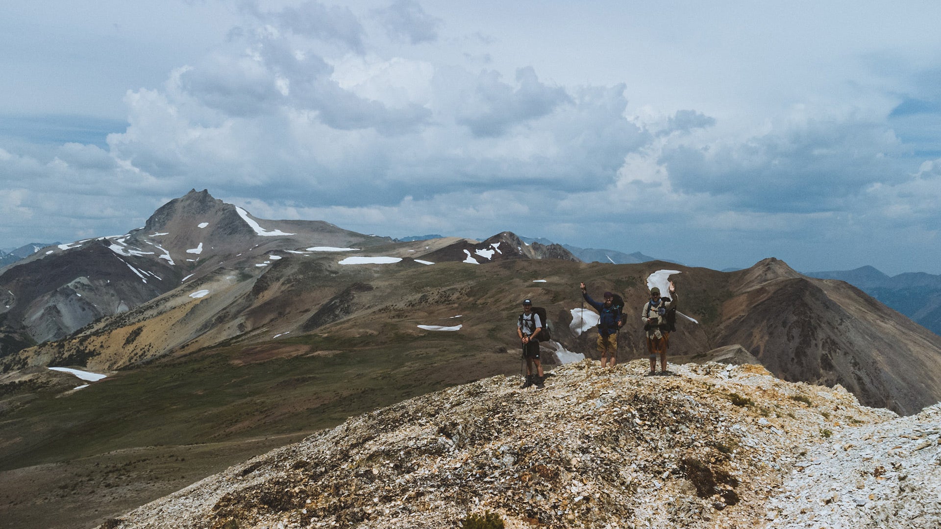
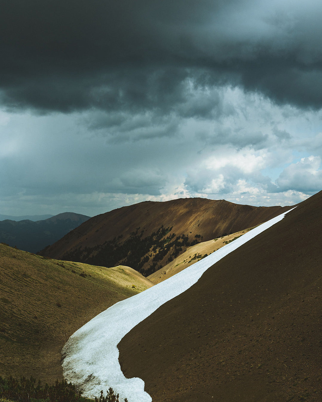
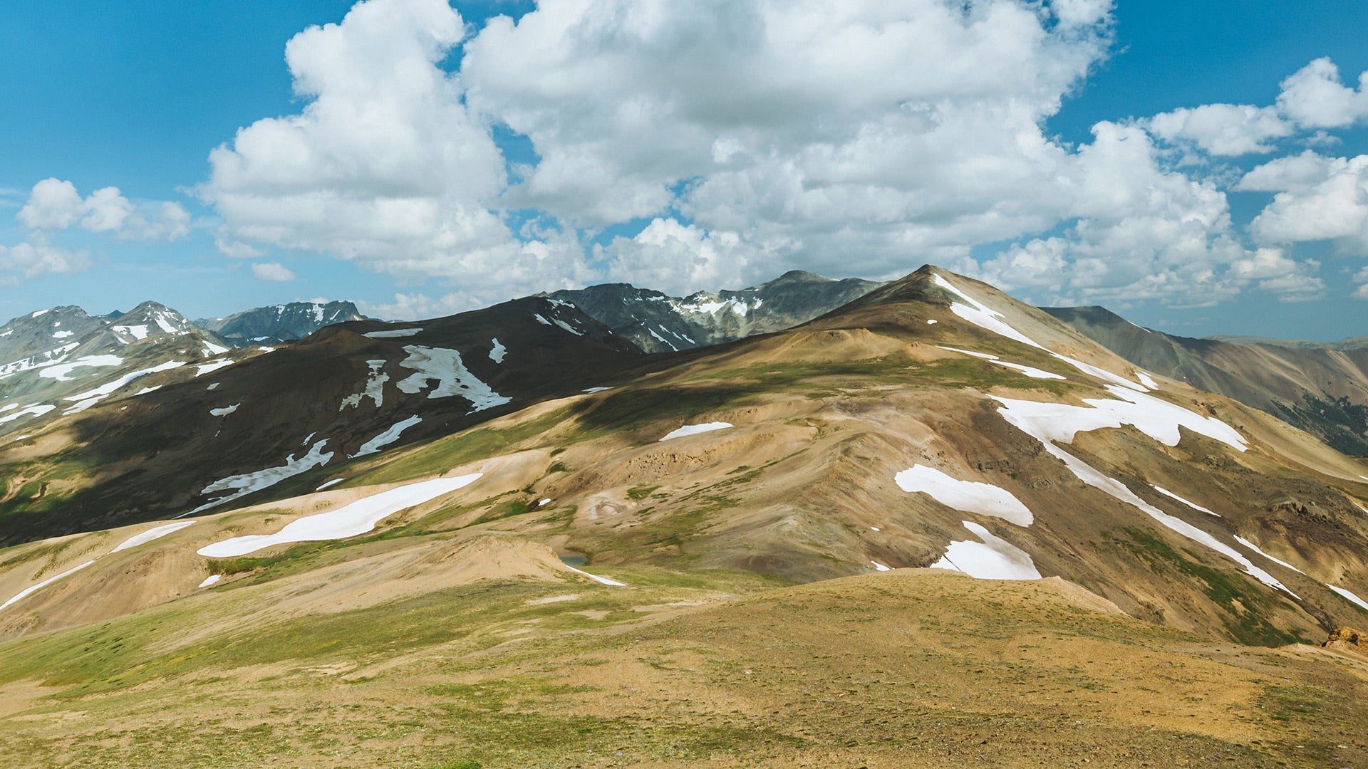
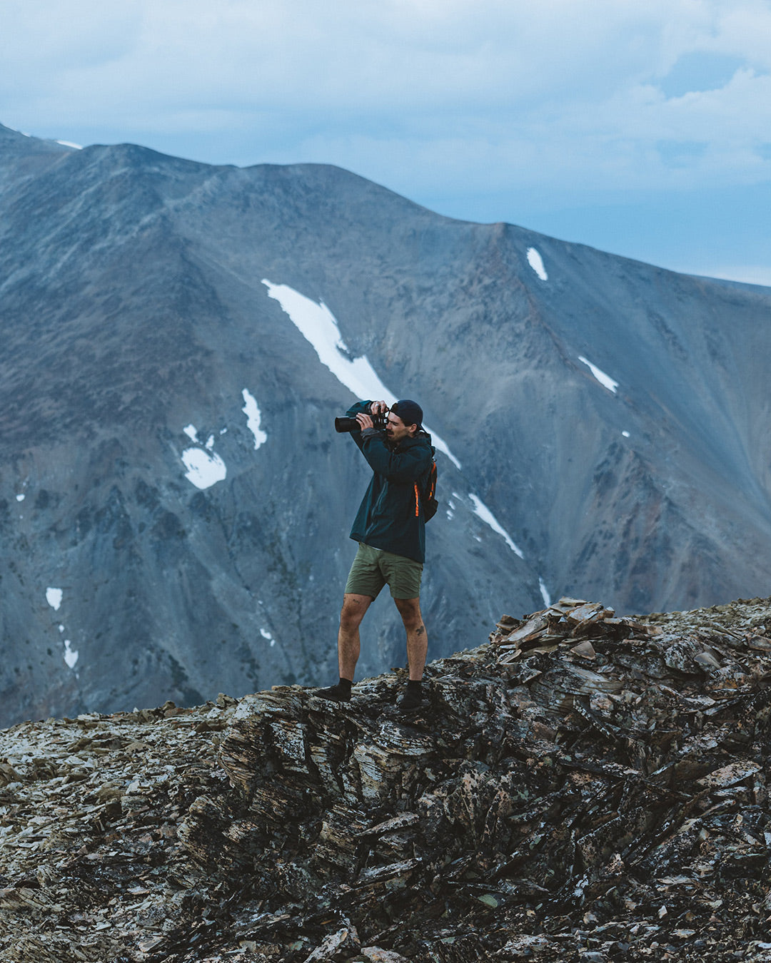
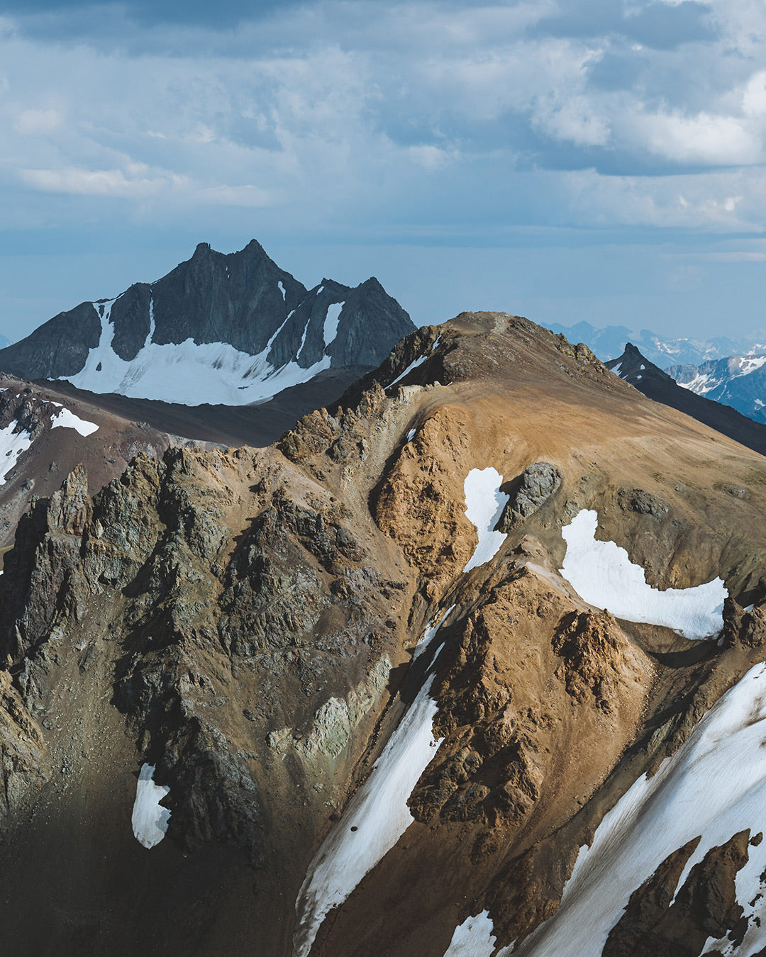
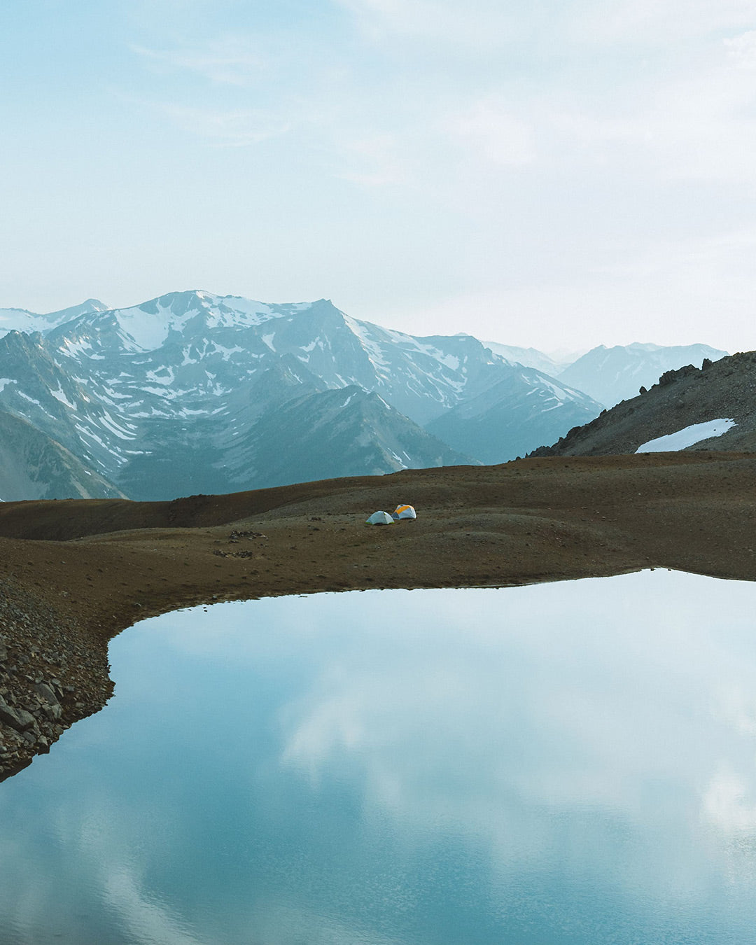
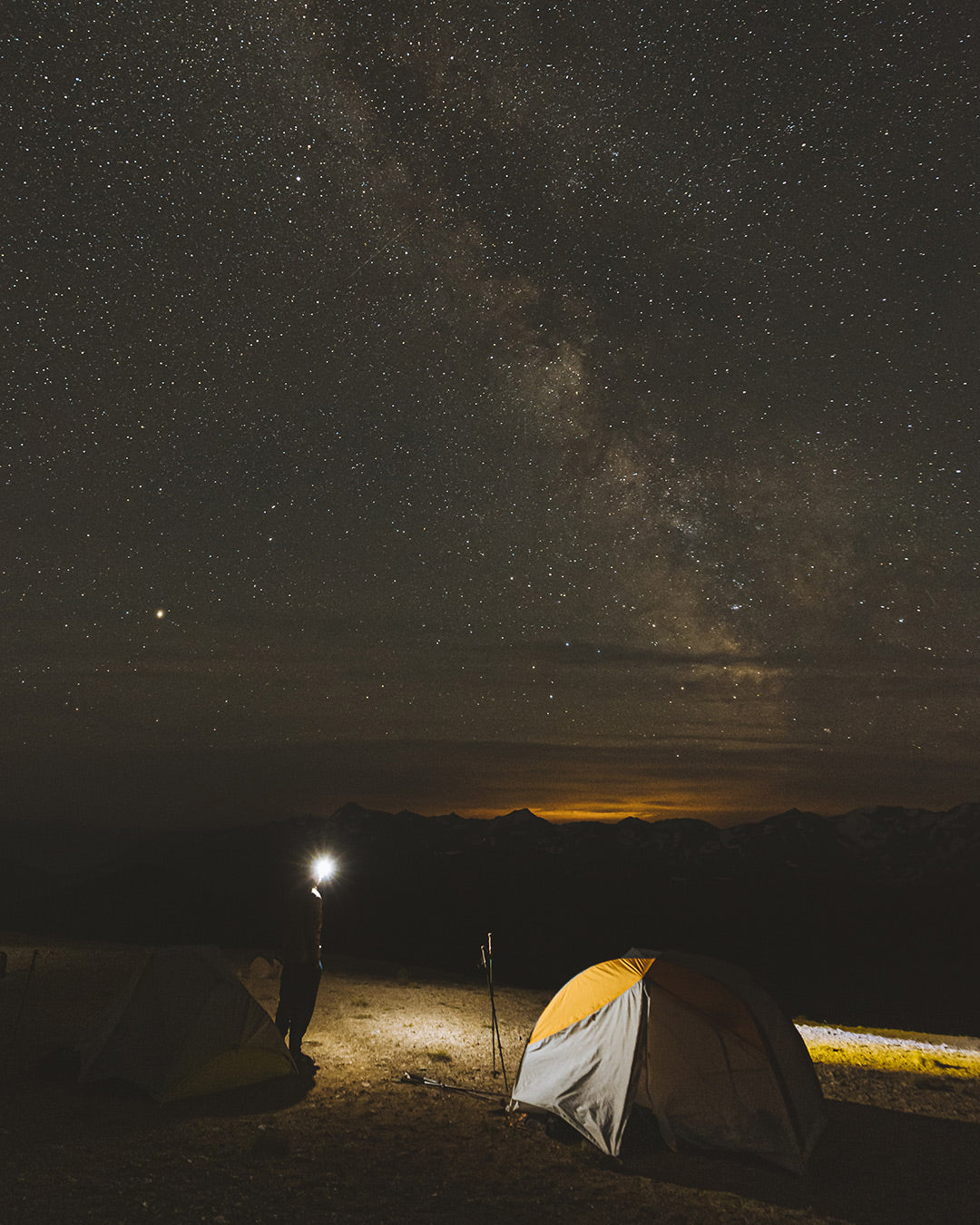
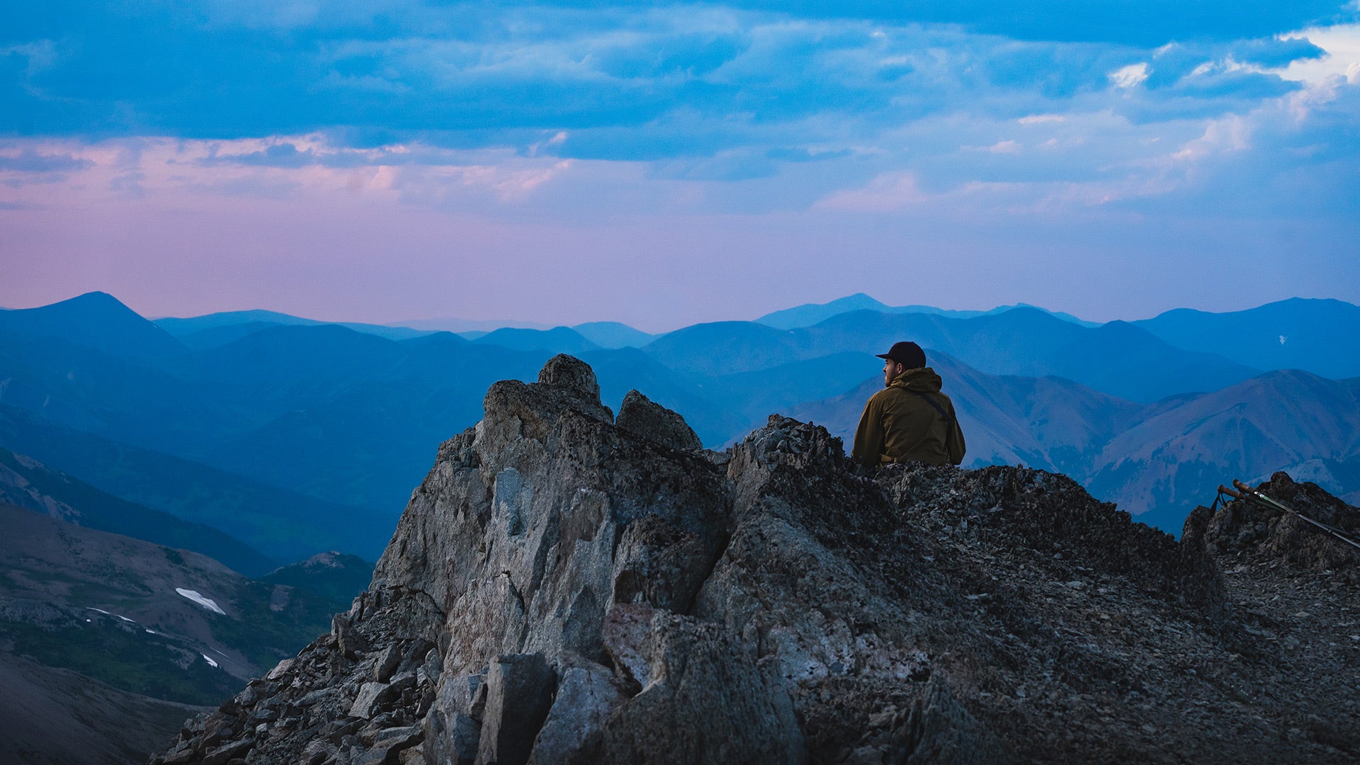
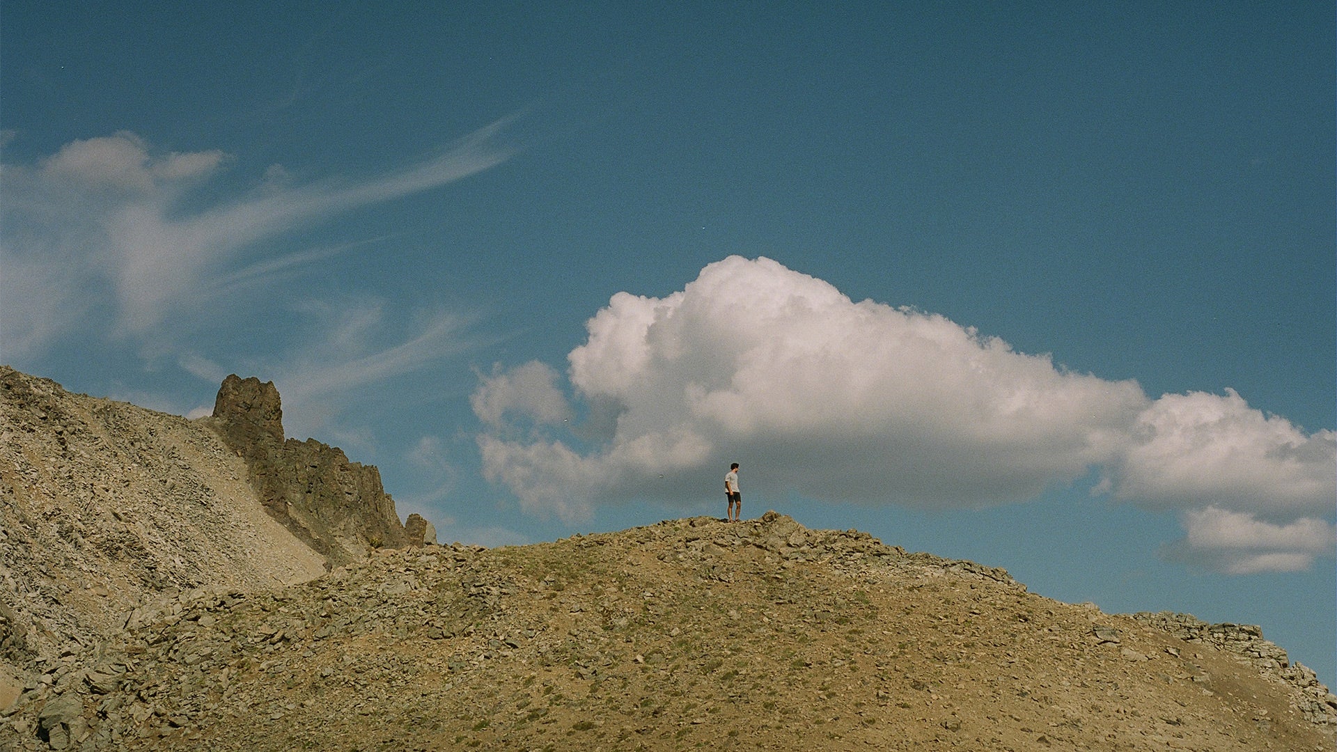
We continued 5 km on the Gun Creek Trail until we reached the start of the Deer Pass Trail. A steep 4 km climb. The ascent was long and tough. We walked in silence, listening to the sound of our footsteps, our breathing, the cracking branches, the wind... 11 km later, we reached the top of Deer Pass, in a stunning alpine plateau. The weather was a mix of sun and clouds. We set up our tents by a small lake. This area was completely exposed to the elements. At over 2,000 meters, we were surrounded by beige, desert-like mountains. After regaining our strength, we decided to climb a mountain overlooking our campsite. According to our map, it was Mount Solomon. An hour of scrambling later, we had an incredible view of the entire mountain range. We soon realized we were still far from Mount Solomon. Since it wasn’t on our map, we renamed it Mount Triple A, for Alexis, Anthony, and Alexis.
Day 4
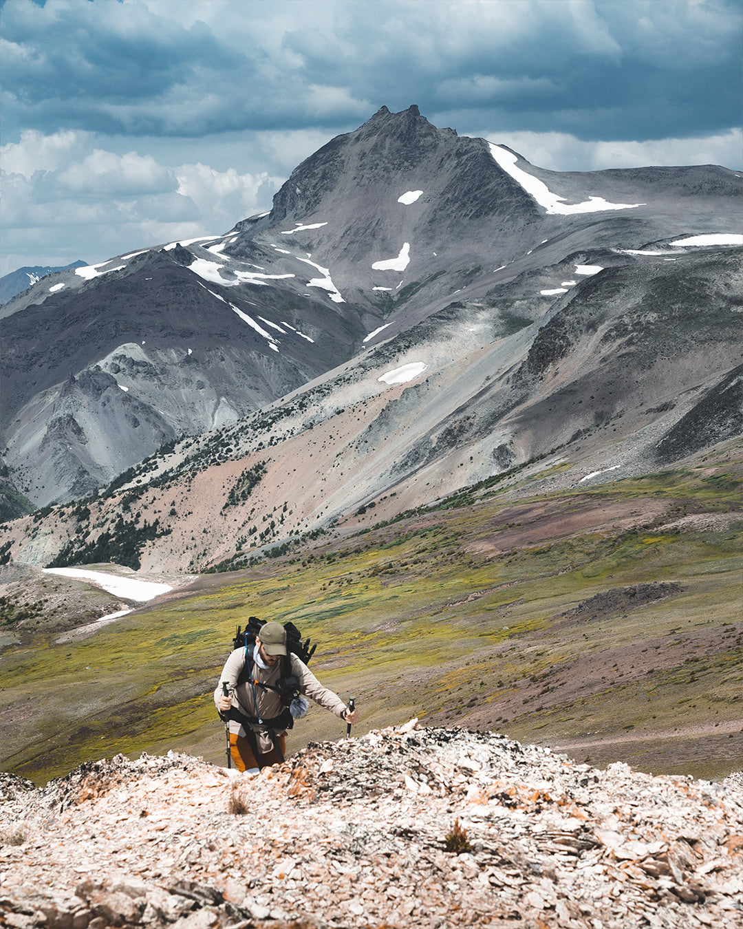
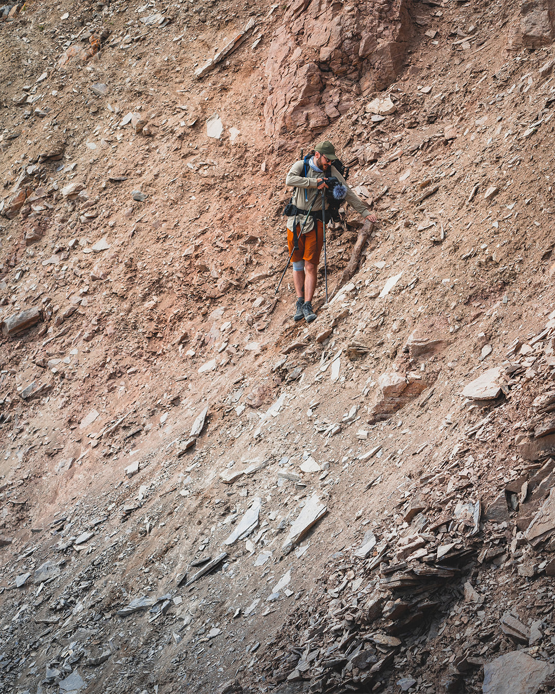
Departure for Mount Sheba. The day started beautifully, under a bright sun. We walked along the mountain ridge. After a few kilometers, the trail became less visible. We tried to find footprints but soon had to rely on our map. We decided to follow a stream, hoping it would lead to an alpine lake. After a tough and uncertain climb, we finally discovered a stunning lake at 2,360 m altitude. Exhausted, we plunged into the icy water. Later, we headed for Mount Sheba (2,550 m). The climb was steep, but the view was spectacular.
Day 5
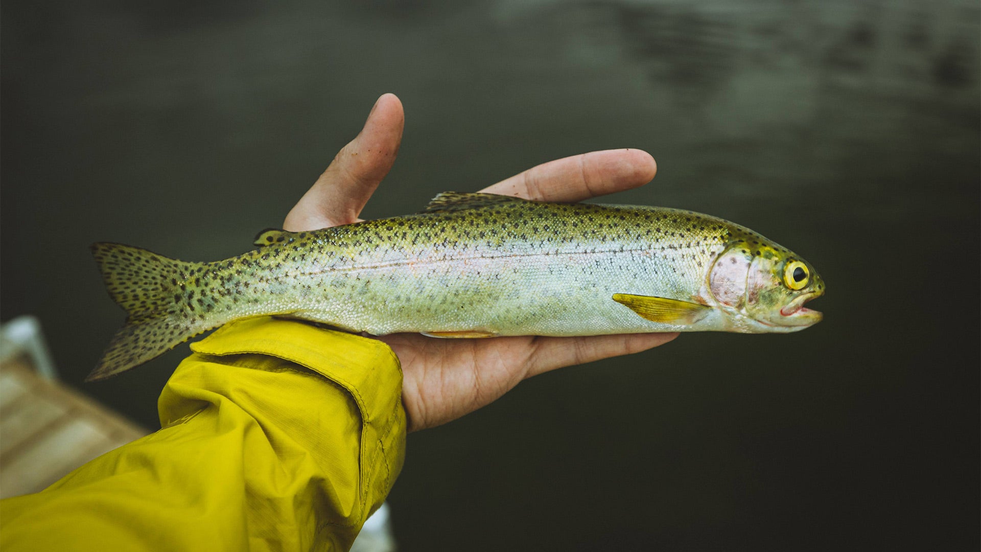
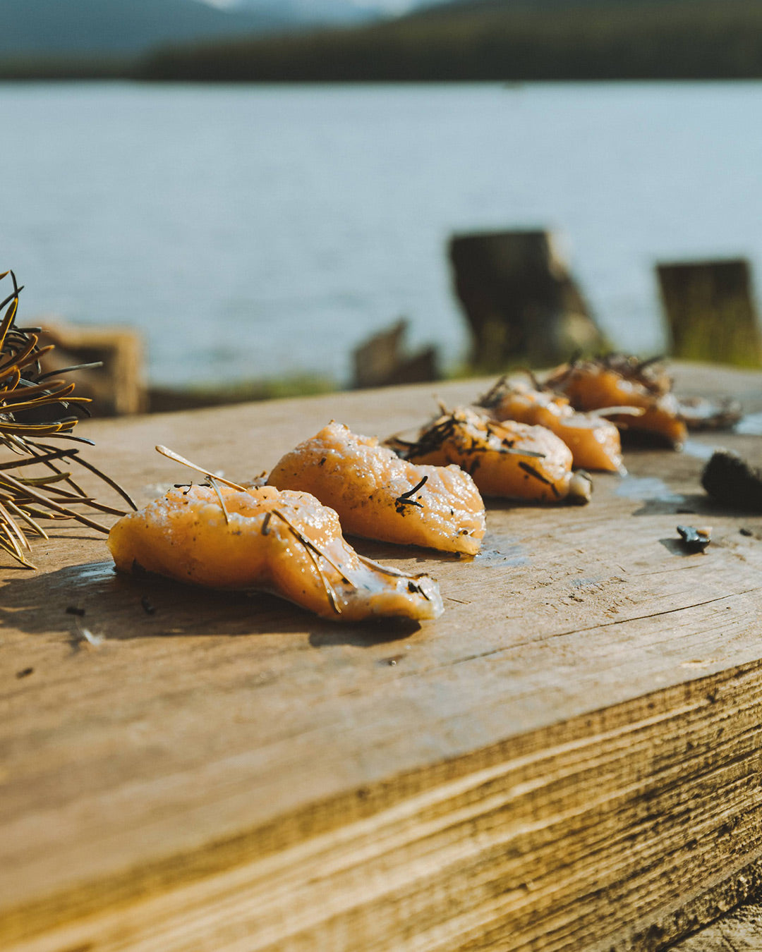
We had to reach Spruce Lake. The day was marked by beautiful ridges offering breathtaking panoramas. By the end of the day, we fished a few rainbow trout—a real feast after several days of freeze-dried meals.
Day 6
Time to head back. A coffee and a bowl of oatmeal later, we set off on a 25 km trek. The climb to Eldorado Pass was tough, and the return via Taylor Creek was mentally exhausting. Finally, we found our car. The adventure was over.
Conclusion
We hiked, backpacks on, through the untouched wilderness of South Chilcotin Mountains Park. This park offers an incredible diversity of landscapes. This adventure was one of the most memorable of my life. If you go there, show respect for this magnificent region.
Tips
- The Trail Ventures park map is essential.
- The Trail Forks app was very helpful.
- The trail is hard to follow at higher elevations; a map is crucial.
- Many grizzly tracks—bear-proof storage is mandatory.
- Practice "Leave No Trace" to preserve this exceptional place.
Based on the words of Anthony Morell, his drawings, and his photos (find more on Route à Emporter), and the photos of Alexis Adrian and Alexis Malin.